
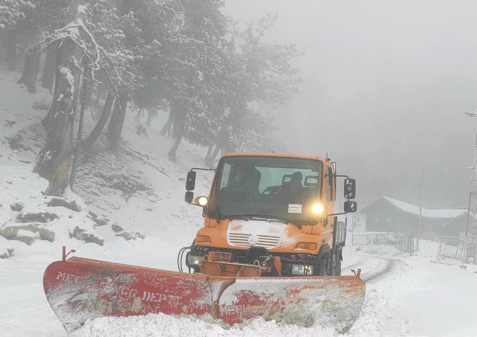
Srinagar, Jan 21: Weatherman on Friday said that fresh western disturbance was affecting J&K from Saturday and will most likely concentrate over Jammu Division, Pir Panjal Range and South Kashmir.
“A fresh active WD is most likely to affect J&K and adjoining areas from 22nd January. Under the influence of this system, widespread rain/snow is most likely to occur during 22nd and 23rd January,” an official of the MeT department said.
He said the system will most likely to concentrate over Jammu Division, Pir Panjal Range and South Kashmir.
“Moderate rain in plains with snow over higher reaches (heavy rain/snow at isolated places) of Jammu Division is expected during the above period,” he said.
Light snow over plains and moderate snow over middle and higher reaches of Kashmir Division is also expected particularly over Northwestern, Northern and central parts of Kashmir.
“Moderate snow over pains of South Kashmir with heavy snow at isolated places over higher reaches of South Kashmir is expected during the above period.”
Regarding possible impacts, he said, there may be temporarily disrupt Surface and Air Transportation on 22-23rd. “( Probability of Occurance as of today 75%).
He said there could be landslides in vulnerable spots of Jammu-Srinagar Highway and other major hilly roads.