
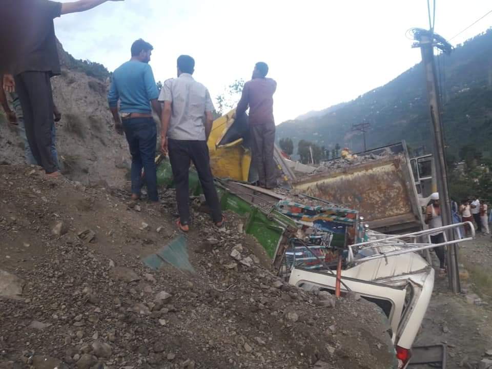
Srinagar, March 19: Jammu and Kashmir has reported 169 major landslides in last five years, impacting life and infrastructure, government of India said on Friday.
In all 3656 major landslides have occurred across India and were collected by Geological Survey of India through onsite field investigations under the Post-Disaster Studies programme taken up annually by GSI in all the landslide prone States and UTs as per GSI’s Standard Operating Procedure, mainly in response to the requests received from the concerned State Governments.
“For all these landslides, during field validation, GSI collected vital preliminary geoparametric attributes for each of the landslides, including studying its impacts, future vulnerability, and indicating the requirements for future detailed geo-scientific investigations, if any,” said Minister for Ministry of Science and Technology and Ministry of Earth Sciences Dr. Harsh Vardhan in a written in Parliament.
To a question whether the State Governments/UTs are maintaining or having National Landslide Susceptibility Mapping (NLSM) in the respective State/UT, he said the NLSM project was launched by GSI after the 2013 Uttarakhand disaster as per the directive of the Technical Advisory committee (TAC). “With the NLSM mapping, GSI has prepared 1: 50,000 scale landslide susceptibility map of 85% of the total target area (3.63 lakh sq. km. out of 4.2 lakh sq. km.) in different landslide prone States/ UTs,” he said, adding, “The work for the remaining area in Arunachal Pradesh is under execution and will be completed by Field Station (FS) 2021-22.”
During NLSM, he said, GSI also collected historical information on 61287 number of landslides polygons using both Remote Sensing (RS) and field-based source data, out of which, 28831 landslides have already been field validated by GSI .
“This huge historical national landslide inventory is continuously being updated with the new landslide data collected year-wise as part of Post disaster studies,” he said, adding, “Landslide Susceptibility Mapping is a specific multi-thematic geoscientific mapping exercise, carried out primarily by the specialised technical resources of Geological Survey of India.”
In this geo-scientific endeavour, he said, the State Government has no specific role in mapping, other than reporting information of any new landslide incidence impacting lives and infrastructure, if any to GSI.
“While preparing the landslide susceptibility maps and updating the national landslide inventory, GSI duly considers those landslide occurrences too that are reported by any State Government. The Geographic Information System (GIS) enabled NLSM outputs – the landslide susceptibility and national landslide inventory map are already shared through Web Map Service (WMS) with NDMA, with a request to share such vital geo-data with all the landslide prone States/ UTs and other relevant stakeholders, for integrating the same in their respective landslide disaster management plans, and also for using in land-use zoning regulations in their respective landslide prone terrains.”
Till date, he said, 753 registered non-GSI users from 412 different affiliations have so far downloaded the vital landslide geodata by raising 7118 different online requests to GSI in Bhukosh. “In addition, the NLSM outputs also delineates the critical and problematic areas, where further up-scaled and detailed geoscientific studies are required for undertaking site specific effective remediation and mitigation by the concerned State Governments and other relevant stakeholders (e.g., road/ rail construction and maintenance authorities).”